Key Players & Topics In This Article
TxDOT: The transportation agency for the State of Texas.
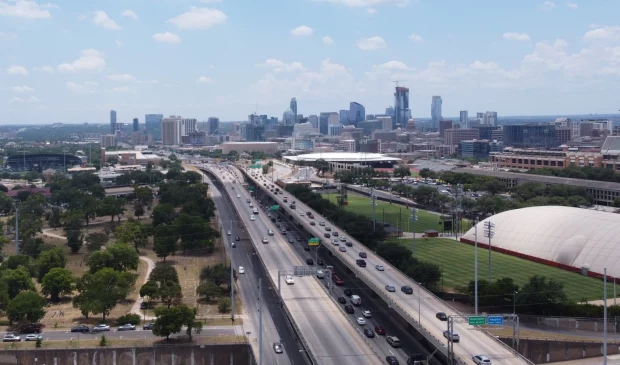
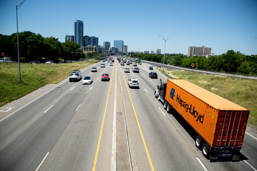
The Texas Department of Transportation has released the most detailed description yet of plans to widen Interstate 35 through the core of Austin, explaining how the agency believes its multibillion-dollar highway expansion could affect everything from parks to pollution.
As part of a 7,000-plus page draft environmental impact statement – required under federal law and released over the holidays – TxDOT revealed which of two competing highway designs it prefers for the multibillion-dollar expansion from Ben White Boulevard to U.S. Highway 290 East.
(Patricia Lim/KUT) TxDOT plans to start construction on the I-35 expansion in late 2025.
The winning design, known as “Modified Build Alternative 3” in clunky government parlance, is similar to the rival proposal but was altered in early 2022 partly in an attempt to appease community critics of the original design.
Both proposals would add two high-occupancy vehicle lanes in each direction from Ben White to 290. Both would sink the main lanes below ground level for most of the distance from Oltorf Street to Airport Boulevard, leaving them largely uncovered except for a chunk or two of blocks downtown. And both would force dozens of people from their homes and businesses as the highway’s footprint is enlarged to envelop more land.
TxDOT’s preferred design would result in less land seized and fewer people pushed out than the competing proposal, but it would still expropriate almost 42 acres and displace 107 homes and businesses. Unlike the losing design, TxDOT’s preferred plan avoids demolishing a 70-unit affordable housing complex that opened only four years ago.
As part of the draft environmental statement, TxDOT made public for the first time a list of properties that could be demolished along with a brief analysis of how many jobs could be lost if those businesses don’t relocate.
Modified Build Alternative 3 would also shift both frontage roads to the east side of the interstate between Dean Keeton Street and 15th Street and then to the west side of the highway from 15th Street to Cesar Chavez.
Side-by-side frontage roads would create “boulevard sections,” TxDOT says, that could run next to city-funded decks covering the lowered highway from Cesar Chavez to Eighth Street.
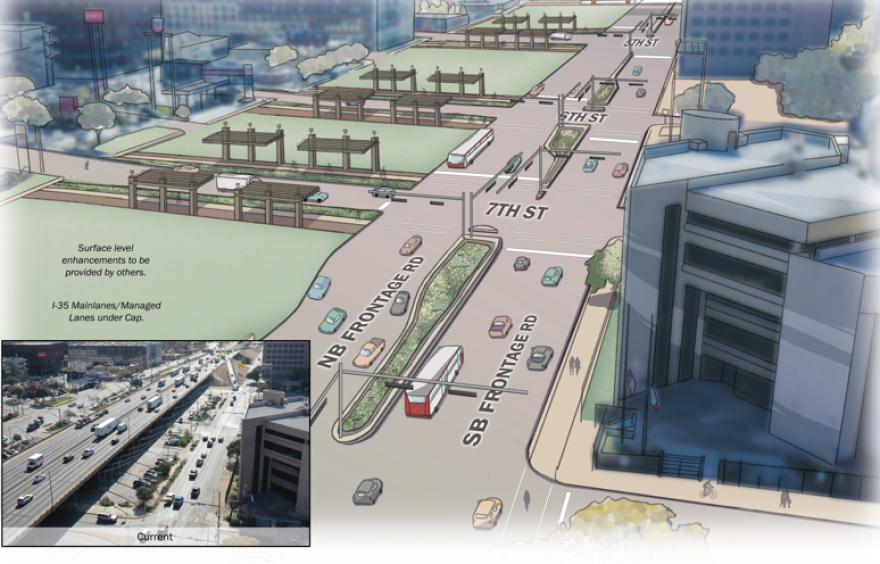
(TxDOT) This TxDOT illustration shows what it could look like if frontage roads ran next to each other alongside a lowered and covered I-35. Austin would need to raise up to $800 million to pay for the coverings, or “caps” – not including annual maintenance costs.
TxDOT is in talks with the University of Texas about the possibility of UT paying to cover I-35 next to campus. The upper decks, which opened in 1975, are slated for demolition.
Modified Build Alternative 3 adds something called a single-point urban interchange at I-35 and Riverside Drive. A SPUI – pronounced SPOO-ee – allows all left-hand turns to be controlled by a single traffic signal. The configuration means more vehicles can move through an intersection, but it also requires more space.

(TxDOT) An illustration of the single-point urban interchange, or SPUI, planned for Riverside Drive under Modified Build Alternative 3.
TxDOT says the configuration will be able to accommodate the Blue Line, a light-rail route planned to run from Austin-Bergstrom International Airport, down Riverside Drive past I-35 and over Lady Bird Lake into downtown Austin.
The preferred expansion includes a pedestrian- and bicycle-only bridge at Woodland Avenue, but – unlike the competing plan – excludes direct connectors between I-35 and U.S. 290 East.
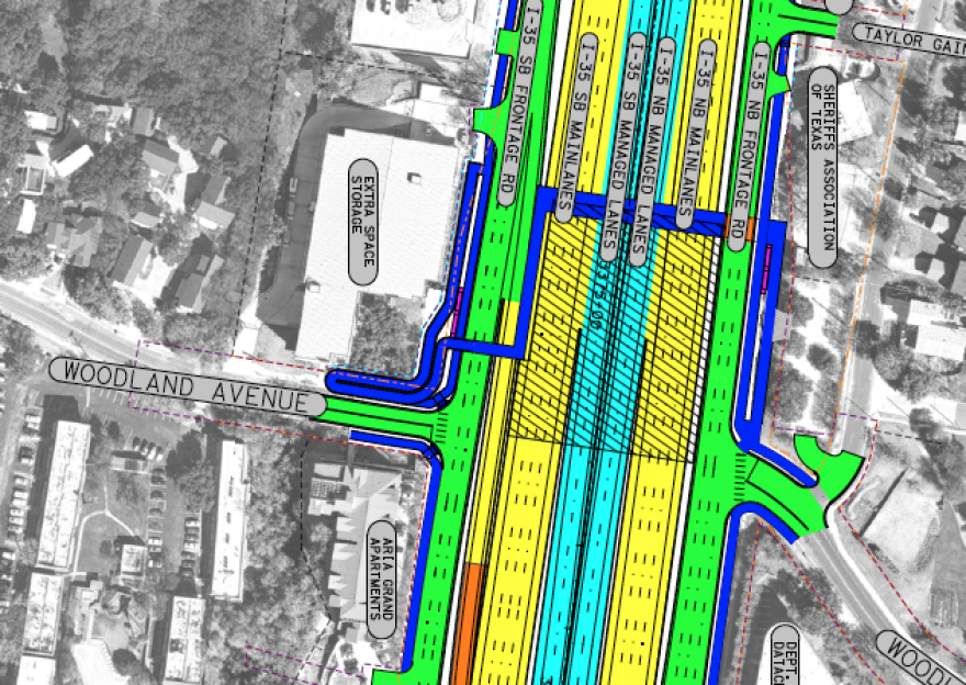
(TxDOT) Woodland Avenue would no longer cross under I-35 under TxDOT’s preferred design. Instead, an elevated shared-use path – indicated by a blue line on this schematic – would allow people to walk, bike or roll over 19 lanes of interstate.
TxDOT is accepting public comments on the draft environmental impact statement from now until March 7.
After the public comment hearing ends, TxDOT has to consider and respond to each comment and make a final decision about the road design. That final environmental impact statement is expected this summer. Construction is slated to start in late 2025.
This story was produced as part of the Austin Monitor’s reporting partnership with KUT.
The Austin Monitor’s work is made possible by donations from the community. Though our reporting covers donors from time to time, we are careful to keep business and editorial efforts separate while maintaining transparency. A complete list of donors is available here, and our code of ethics is explained here.

And we’re honored you look to us for serious, in-depth news. You know a strong community needs local and dedicated watchdog reporting. We’re here for you and that won’t change. Now will you take the powerful next step and support our nonprofit news organization?
TxDOT: The transportation agency for the State of Texas.